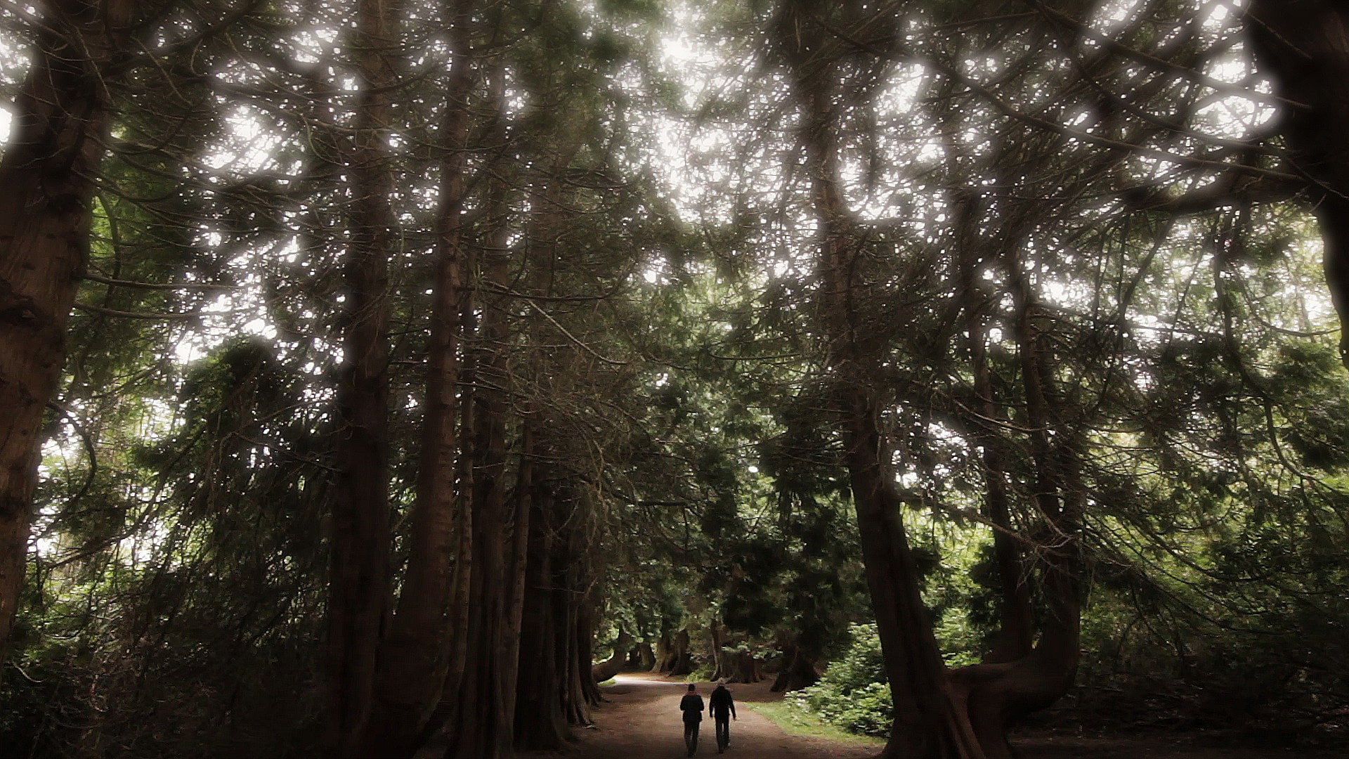
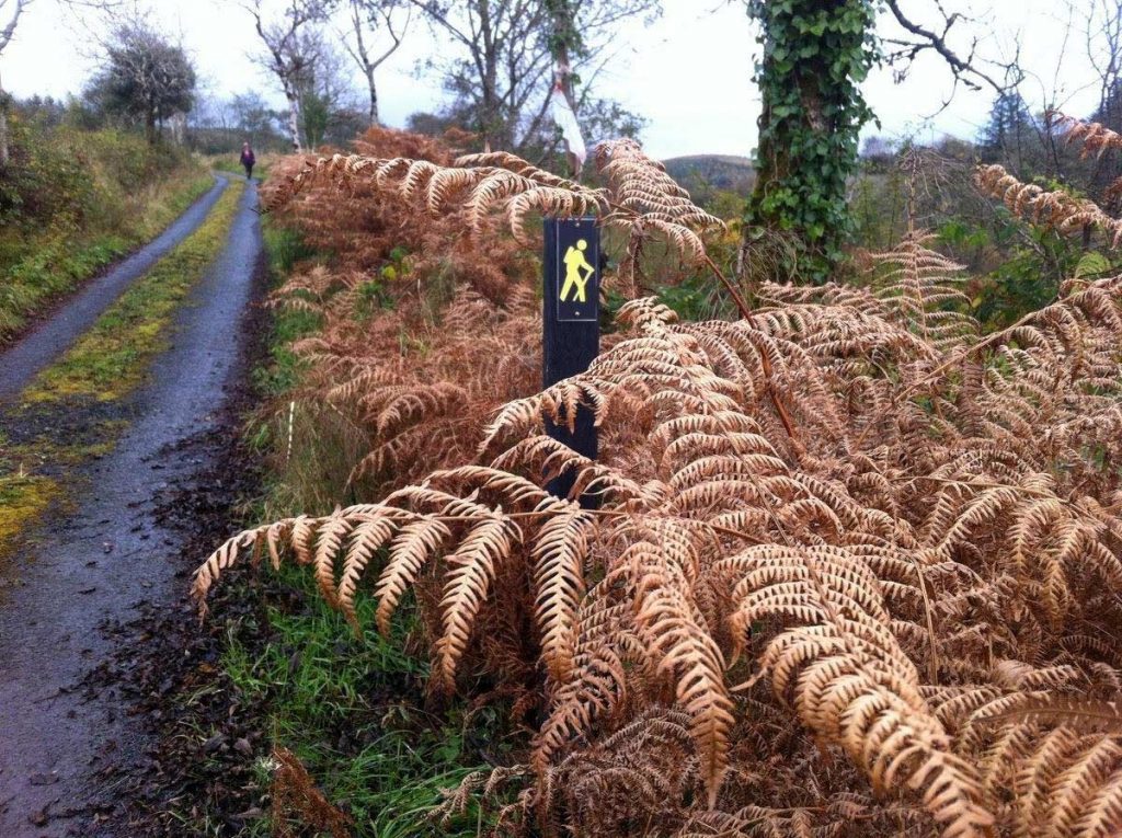
The Miners Way & Historical Trail are a network of walking paths which wind their way through adjoining parts of Counties Leitrim, Roscommon & Sligo. The route follows many of the paths used by the Miners going to work in the Arigna Coal Mines. In total the Arigna Miners Way route is 65.7 kilometres in length and ascends some 1,300 metres. The Historical Trail is 60.5 kilometres in length and ascends some 850 metres.
They are suitable for a week’s walking but the visitor can pick and choose which sections to walk. Access to this land is due to the kind permission of the landowners. The walk is on working farmland and no dogs are allowed. Please follow the directional signage for this trail and please respect the environment by following the principles of Leave no Trace.
Contact Boyle Tourism Centre & Craft Shop for more information +353 (0)71 966 3033. Map & Trail books available.
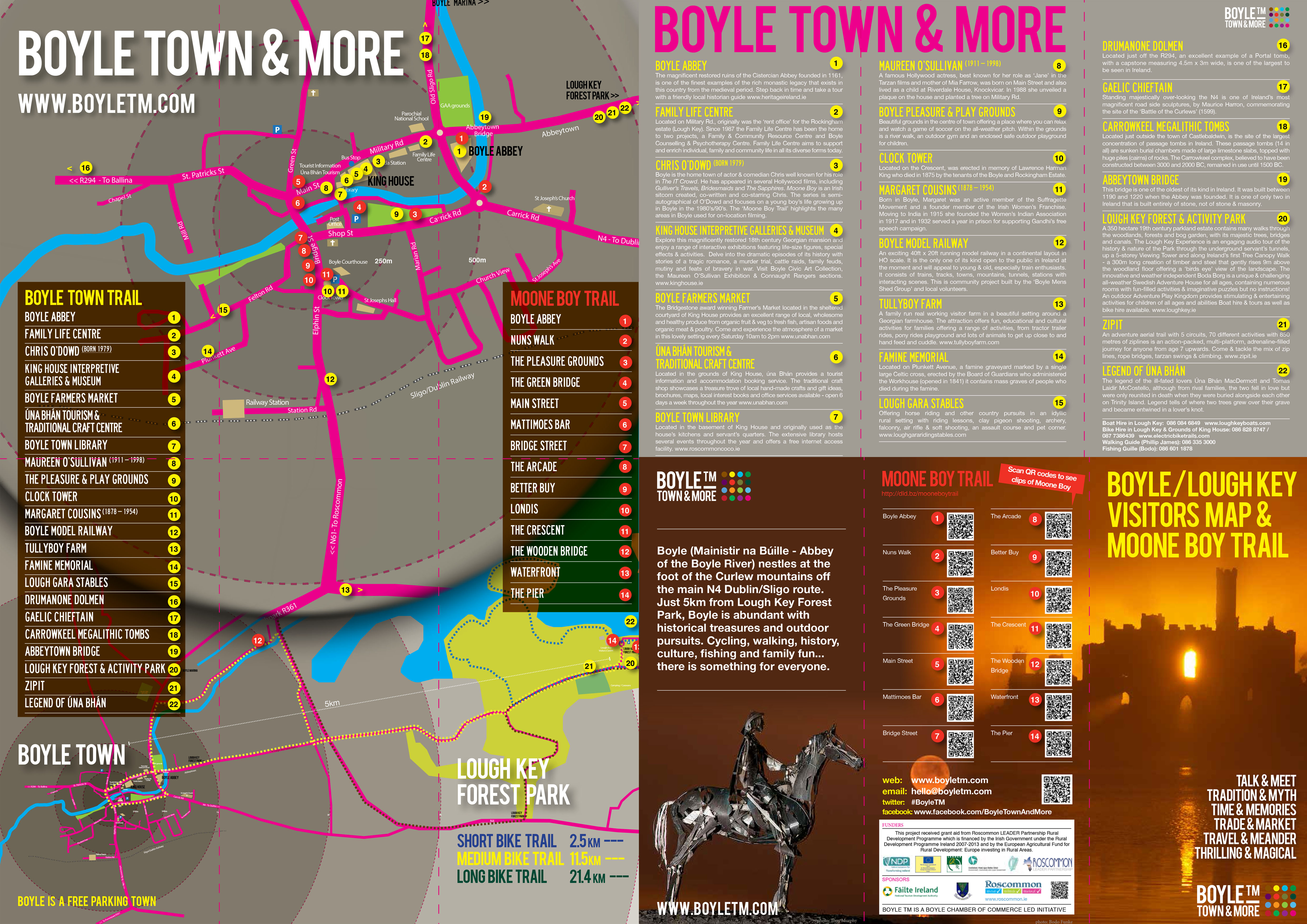
Boyle Historical Trail is a self-guided walk of the richly historic town of Boyle which begins at the 18th Century King House, built for the wealthy landowner Sir Henry King and later used as a military barracks by the Connaught Rangers.
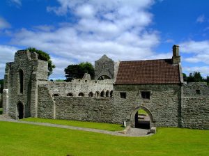
The next stop is Boyle Abbey, which was the first successful foundation of the Cistercian order in Connaught and boasts an interesting mix of Gothic and Romanesque features.
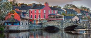
Other stops on the trail include an old market yard with a triple arched entrance gate. Boyle’s 12th Century bridge which is one of the oldest of its kind in Ireland and its 19th Century railway station evokes the golden era of railway travel.
The Moone Boy Trail
The Moone Boy Trail is an interactive walking/cycling trail which takes you through the various locations where on-site filming for Moone Boy took place throughout Boyle.
The Trail is accompanied with a FREE brochure pinpointing the various locations where filming took place, including QR Codes. QR codes can be scanned by using your mobile phone or Tablet (QR code scanning App must be installed on your phone or tablet) to show you edited footage of the Moone Boy series which is unique to each location.
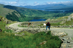
The Beara-Breifne Way is Ireland’s longest national waymarked trail. The route has been created by local communities in a unique collaboration.
It follows the legendary fourteen-day march taken by Dónal Cam O’Sullivan Beare and his one thousand supporters in 1603, and it visits many of the places and communities shaped by their story.
The Way runs almost the length of the country and takes the walker and cyclist to some of its most beautiful and least explored areas in Ireland.
Journey along the coast of the Beara Peninsula, across six mountain ranges, along the banks of the River Shannon and through the lake regions of Roscommon and Leitrim as you travel the Beara Breifne-Way and collect the stamps to fill the Way’s ‘passport’.
This is off canvas menu widget area. To enable it add some widgets into Appearance – Widgets – Menu Section, and go to Customizer – Main menu to set the icon position.
